Issue file 03
Environmental change becomes legible when maps, law, livelihoods, and local testimony are read together.
Environment in Burma: land, forests, and evidence
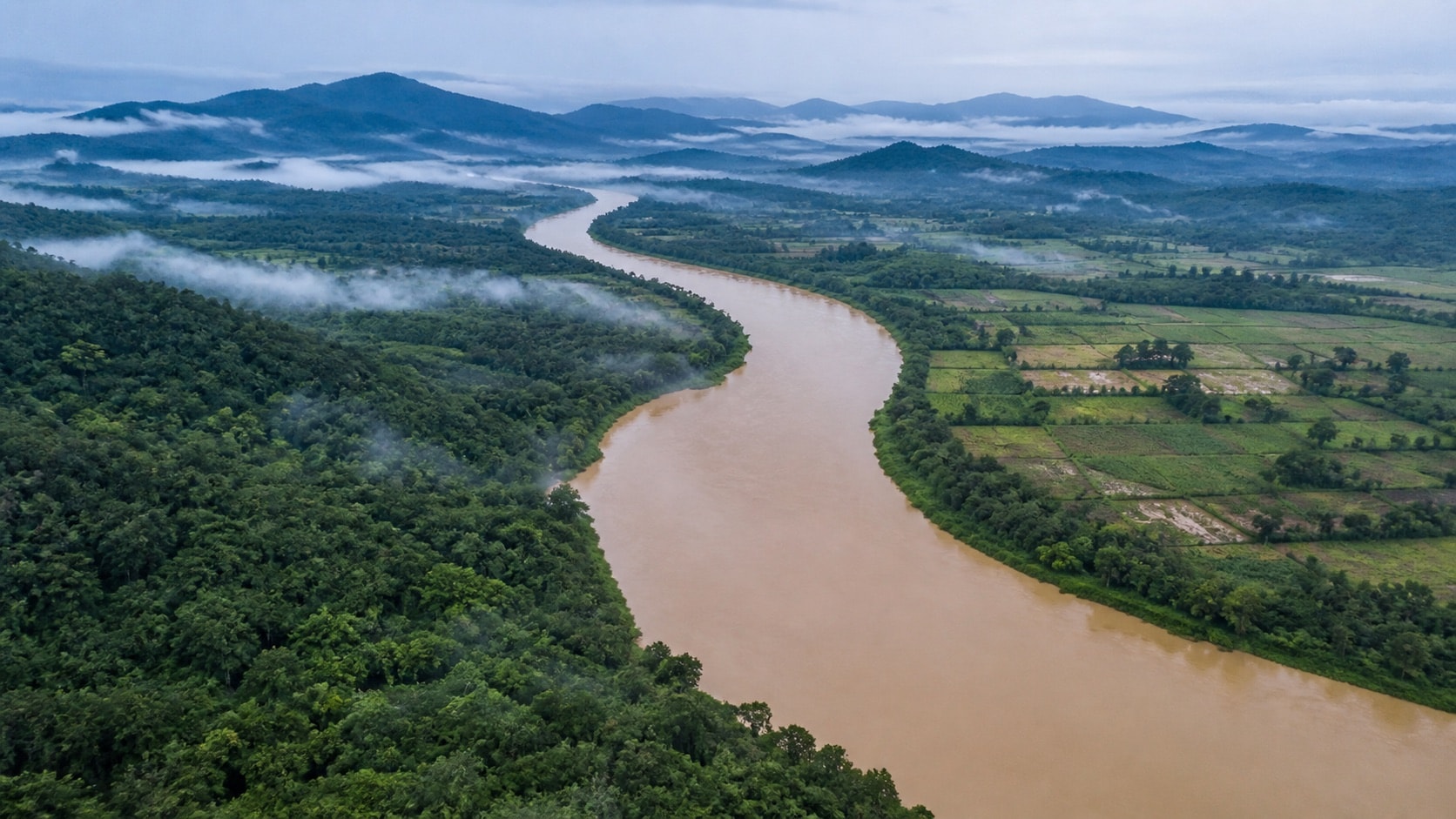
This issue file offers a framework for studying forests, rivers, extraction, land rights, climate exposure, and the quality of environmental evidence.
Start with place and scale
Environmental claims change meaning with scale. A national forest-cover estimate may show a broad trend while missing degradation under a remaining canopy. A township map may reveal land conversion but not who controlled the decision. A village account can describe livelihood effects in detail but cannot, by itself, establish the national extent of a pattern.
Good research connects these levels. The FAO's country programme in Myanmar sets out FAO's work and sector priorities in the country, while the World Bank’s Myanmar overview links environmental risk to development conditions. Neither replaces community-level evidence; each helps locate it within a wider picture.
Forests are more than canopy
Forest monitoring may measure tree cover, legal forest categories, biomass, habitat, or commercial concessions. These are related but not identical. A plantation can count as tree cover while supporting far less biodiversity than a natural forest. A legally protected area can remain vulnerable if governance and local rights are weak.
When comparing forest statistics, record the definition, sensor, minimum mapping unit, baseline year, and treatment of plantations. Apparent disagreement can come from method rather than dishonesty. The strongest accounts combine remote sensing with field observations and disclose what could not be verified.
Land rights and environmental governance
Land is simultaneously home, livelihood, ecological system, cultural record, and economic asset. Policies that recognize only formal title can overlook customary tenure and displacement. Infrastructure and extraction projects can redistribute risk: benefits may be counted nationally while costs fall on particular communities.
A source-guided approach asks who had authority to consent, what alternatives were considered, how compensation was calculated, and whether affected people could challenge a decision safely. It also separates evidence of impact from a claim about legal responsibility. Both matter, but they require different documents.
Rivers, extraction, and cumulative effects
A mine, dam, road, or plantation should not be read in isolation. Roads change access; power projects alter river flow; extraction creates waste and labour movements; multiple projects can compound pressure across a watershed. Environmental assessment is strongest when it considers cumulative and downstream effects rather than only the footprint of one concession.
Historic advocacy often focused on a named project or company. Old lists and allegations call for review, never repetition. The method still applies: locate permits and assessments, identify beneficial ownership where reliable records exist, compare promised safeguards with monitored outcomes, and date every claim.
Climate risk and conflict
Climate hazards interact with governance. Flood, heat, drought, cyclone exposure, food insecurity, and displacement are shaped by infrastructure, access to information, public services, and conflict. A hazard map shows where an event may occur; vulnerability depends on who can prepare, move, recover, and participate in decisions.
Current humanitarian and climate conditions change rapidly. Readers should use present institutional reporting rather than infer today’s risk from historical material. The page’s purpose is to show how environmental evidence fits together and why uncertainty should be documented rather than hidden.
Build an environmental source trail
For each claim, record the observation period, geography, dataset, method, and responsible institution. Add local testimony with consent and contextual detail. Note whether a map shows legal boundaries, physical features, modeled risk, or observed change. Treat a striking image as a starting point, not a conclusion.
The related due-diligence guide explains how organizations assess business conduct, while the Canadian investment file places environmental risk beside sanctions and responsible-business expectations. Together they reflect CFOB’s connection between land, public policy, and accountability.